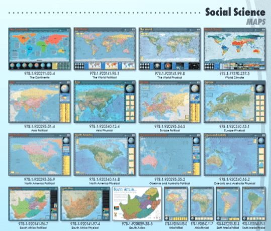
Africa Political - Wall Chart
SKU LL1950
Original price
R 77.57
-
Original price
R 77.57
Original price
R 77.57
R 77.57
-
R 77.57
Current price
R 77.57
This map shows the geographic boundaries between governmental units such as countries, provinces and cities. They show roads, cities and major water features such as oceans, rivers and lakes of Africa.
Please note the posters are backordered. When ordering this item it will be sourced from the publisher.
Please allow for an additional 3-4 days on orders containing posters.
Delivery time
When you place an order for a poster, it will be specially sourced from the publisher.
Kindly allow an additional 1 to 3 days for processing. Courier delivery can be expected within 5 to 7 days after processing.