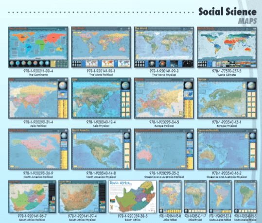

Africa Political - Wall Chart
This map shows the geographic boundaries between governmental units such as countries, provinces and cities. They show roads, cities and major water features such as oceans, rivers and lakes of Africa.
Our wallcharts are engineered for durability and educational impact, designed to withstand the rigors of both classroom and home environments.
Key Benefits and Features
- Material: Printed on high-quality 250 gsm art board.
- Finish: Standard double-sided gloss lamination (75–125 microns) for superior strength.
- Dimensions: Standard size is 76 cm x 52 cm, with custom sizing available upon request.
Design
- Vibrant Printing: High-definition full-colour print on the front face.
- Subject Authority: Content is developed alongside subject specialists and respected educational institutions.
- Readability: Designed with a focus on clarity, making them easy to read from a distance.
Specification:
- Size: 76 cm x 52 cm
- Material: 250 gsm art board with standard poster lamination
Please note the posters are backordered. When ordering this item it will be sourced from the publisher.
Please allow for an additional 3-4 days on orders containing posters.
Delivery time
When you place an order for a poster, it will be specially sourced from the publisher.
Kindly allow an additional 1 to 3 days for processing. Courier delivery can be expected within 5 to 7 days after processing.