Earth Sciences
Explore the Earth Sciences category at SmartLabs, featuring a range of subcategories like Astronomy, Mapping, Weather, and Geography. From solar system models and compasses to rain gauges and geological tools, our selection provides everything needed to study Earth's systems, natural phenomena, and the universe beyond.
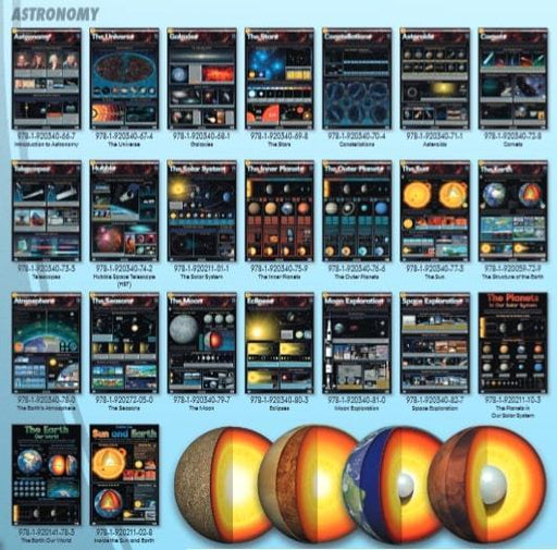
Constellations - Wall Chart
Poster which has a large illustration of constellations with information and definitions related to Astronomy. Please note the posters are backorde...
View full detailsComets - Wall Chart
Wall chart that includes colourful illustrations of comets, with information and definitions related to astronomy. Please note the posters are bac...
View full detailsClouds - How they are formed - Wall Chart
Clouds - How they are formed - Wall Chart Please note the posters are backordered. When ordering this item it will be sourced from the publisher. P...
View full detailsClouds & Weather - Wall Chart
Clouds & Weather - Wall Chart Please note the posters are backordered. When ordering this item it will be sourced from the publisher. Please al...
View full detailsAsteroids - Wall Chart
A detailed chart with images and information on asteroids, their chemical and physical make up and structure. Also covers the asteroid belt and ast...
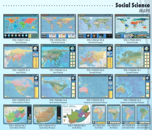
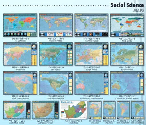
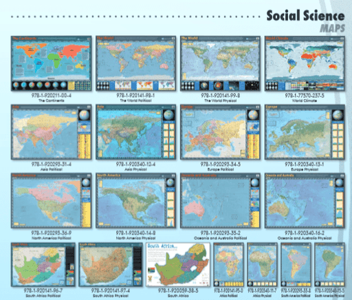
View full detailsAsia Political - Wall Chart
Asia Political - Wall Chart Please note the posters are backordered. When ordering this item it will be sourced from the publisher. Please allow fo...
View full detailsAsia Physical - Wall Chart
Asia Physical - Wall Chart Please note the posters are backordered. When ordering this item it will be sourced from the publisher. Please allow for...
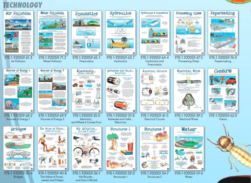
View full detailsAir Pollution - Wall Chart
Air Pollution - Wall Chart Please note the posters are backordered. When ordering this item it will be sourced from the publisher. Please allow for...
View full detailsAfrica Political - Wall Chart
This map shows the geographic boundaries between governmental units such as countries, provinces and cities. They show roads, cities and major wate...
View full detailsAfrica Physical - Wall Chart
Physical map of the African continent showing the most important political boundaries, such as Province and country boundaries. Major cities and ma...
View full detailsStreak Plates
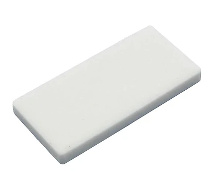
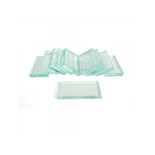
Streak Plates Used to determine a mineral's colour in powder form, or to identify the mineral content of a rock. The "streak test" is a method used...
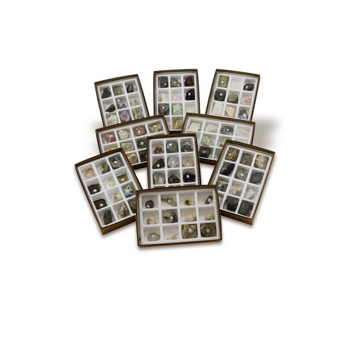
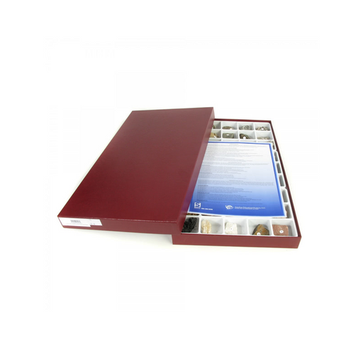
View full detailsRock Collection
Rock Collection Contains 15 representative specimens of rocks, each approximately 37 x 37mm, in a compartmented display container. Available in Ign...
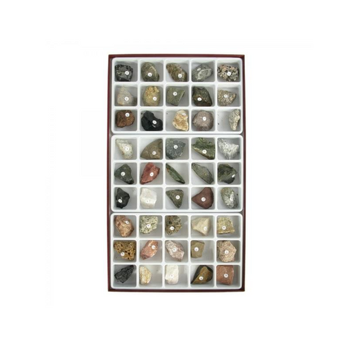
View full detailsExpanded Rock Collection
Expanded Rock Collection 45 specimens, approximately 38 x 38mm, includes 15 each of igneous, sedimentary and metamorphic rocks. Each category of ro...
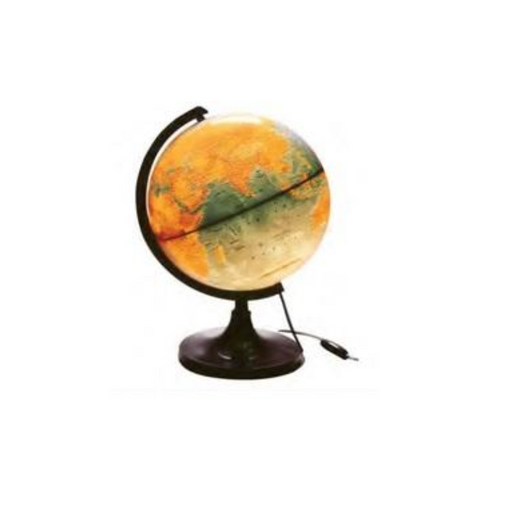
View full detailsGlobe: Physical Relief
Globe: Physical Relief A twelve inches raised relief globe combined with political features, makes it useful for showing the effects vis-à-vis natu...
View full details


